Navigating the Waters in Miami: Essential Tips for Boaters
Published May 7th, 2024
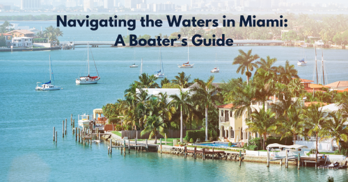
Miami's vibrant coastlines and bustling waterways make it a top destination for boaters. Whether you're exploring the scenic Biscayne Bay, venturing out to the Atlantic, or cruising through the busy Miami River, understanding how to navigate these waters safely is key to enjoying your time at sea. Here are some essential tips to help you navigate Miami waters with confidence.
Understanding the Local Water Conditions
Miami's marine environment can vary dramatically from one area to another, affecting how you should navigate:
Tidal Influences: Miami's tides, primarily diurnal (one high and one low tide each day), play a significant role in navigation, especially near the inlets and the shallower waters of Biscayne Bay. Checking the local tide tables before departure is crucial to avoid shallow areas during low tide.
Ocean Currents: The Gulf Stream, a powerful, warm, and swift Atlantic Ocean current that originates at the tip of Florida, moves north just off the coastlines of Miami. Its strength and proximity to the shore can significantly impact navigation, making it essential to account for it when planning any eastward or offshore trip.
Common Hazards
Coral Reefs: Miami is home to part of the Florida Reef, the only living coral barrier reef in the continental United States. While beautiful, these reefs can pose serious navigation hazards. Areas like the Biscayne National Park are particularly sensitive and require careful navigation to avoid damaging the fragile reef ecosystem.
Heavy Boat Traffic: Miami’s popularity as a boating destination means that the waterways can get crowded, especially on weekends and holidays. High traffic areas, such as the Miami River and Government Cut, require heightened awareness and adherence to boating rules to avoid collisions and ensure safe passage.
Manatee Zones: Like in Palm Beach, several areas around Miami are designated as manatee protection zones, where speed limits are reduced to prevent harm to these endangered creatures. Pay attention to signage and adhere to the speed regulations.
Navigational Tips
Stay Informed with Charts and GPS: Modern GPS navigation systems and up-to-date nautical charts are indispensable for safely navigating Miami’s waters. They help identify and navigate around natural hazards and provide information on water depth, buoys, and other navigational aids.
Be Aware of Bridge Schedules: Several drawbridges cross Miami’s waterways, each with its own schedule for opening and closing. Knowing these schedules in advance can help avoid delays and ensure a smooth trip, particularly along routes like the Miami River.
Local Boating Regulations: Miami-Dade County has specific boating rules and regulations, including speed limits and special boating safety zones. Familiarizing yourself with these rules can prevent fines and accidents.
Weather Considerations
Miami's weather can be unpredictable, with sudden thunderstorms and rapid changes in wind and sea conditions. Regularly check weather forecasts on a reliable app or radio service, and always prepare for the possibility of weather changes when out on the water.
Navigating Miami's waters can be an exhilarating experience, offering unique sights and excellent boating conditions. With proper preparation, awareness of local conditions, and adherence to safety practices, you can ensure that your adventures in Miami are both safe and enjoyable.